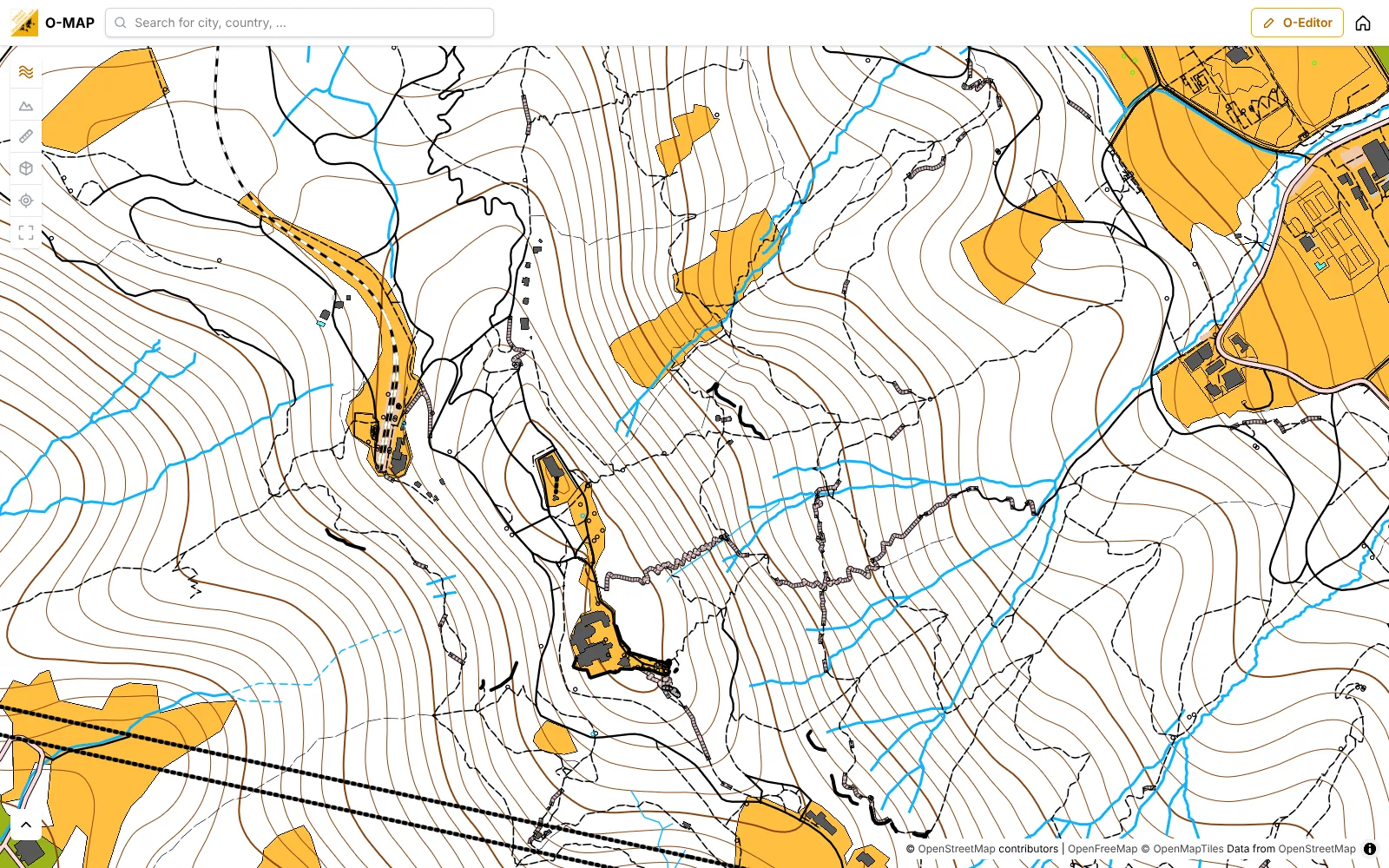
The whole world mapped as an orienteering map.
World's largest orienteering map
Discover the world in a new way – as an orienteering map. Use it as a solid base map for training or competition preparation, and draw along to keep it up to date.
- Worldwide
- Free
- Print-ready PDF
- Export to OCAD
From overview to every path
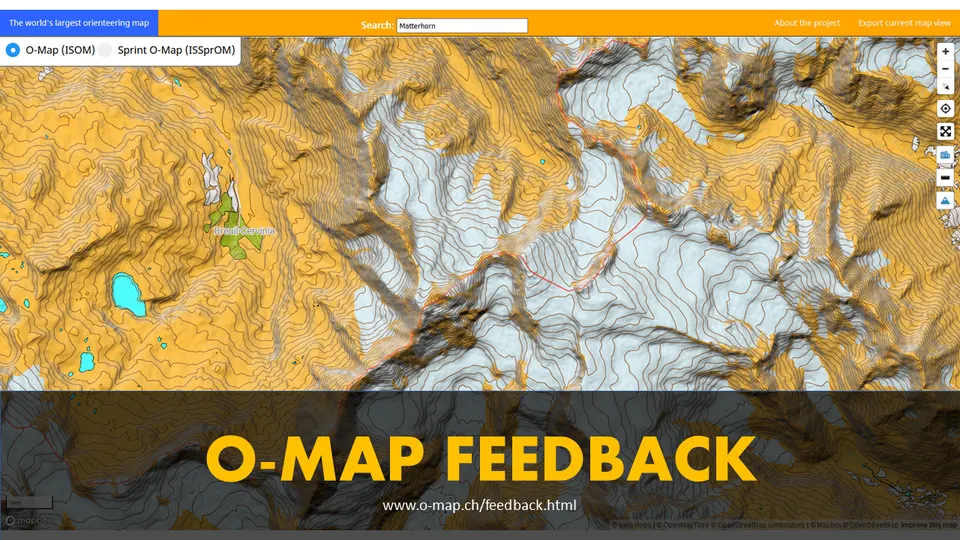
Zoomed out, you see an overview of the whole region. Zoom in to 1:15 000 and the orienteering map appears, with forest, open land, paths, streams and 10 m contours.
3D Mode
Switch on the 3D terrain: hills and valleys from the elevation model, with contours and hillshading. Tilt and turn the map as you like.
Go to MapExport as PDF, OCAD and Mapper
Export any map section as a print-ready PDF at true scale. For further mapping you get a georeferenced OCAD file (.ocd), an OpenOrienteering Mapper file or a DXF, with ISOM or sprint symbols and contours.
ExportJoin the project as a mapper
Create a free account and improve the o-map in the O-Editor. Draw with professional tools: Bézier curves, right-angled buildings, circles, stairs, coordinates, follow existing lines, cut, merge and cut out holes, with undo, snapping and satellite images as background. Your changes are visible on the map at once.
RegisterHeatmap
Watch the O‑Map grow
The global heatmap shows where the community has improved the map with the O‑Editor and where orienteers run. Play the timeline and watch, month by month, where something changed.
Features
Everything else o-map can do.
O-Analyser
Upload your GPS tracks, look at them on the orienteering map and compare routes in heatmaps.
Geolocation
Display your location on the map using your GPS.
Measure Distances
You can measure distances across the whole world.
Search places and countries
Search streets, cities and countries by their names.
Export as an image
Export the map as an image for use in other programs. So you can complete the map or make a course on it.
Stay up to date
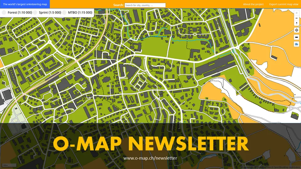
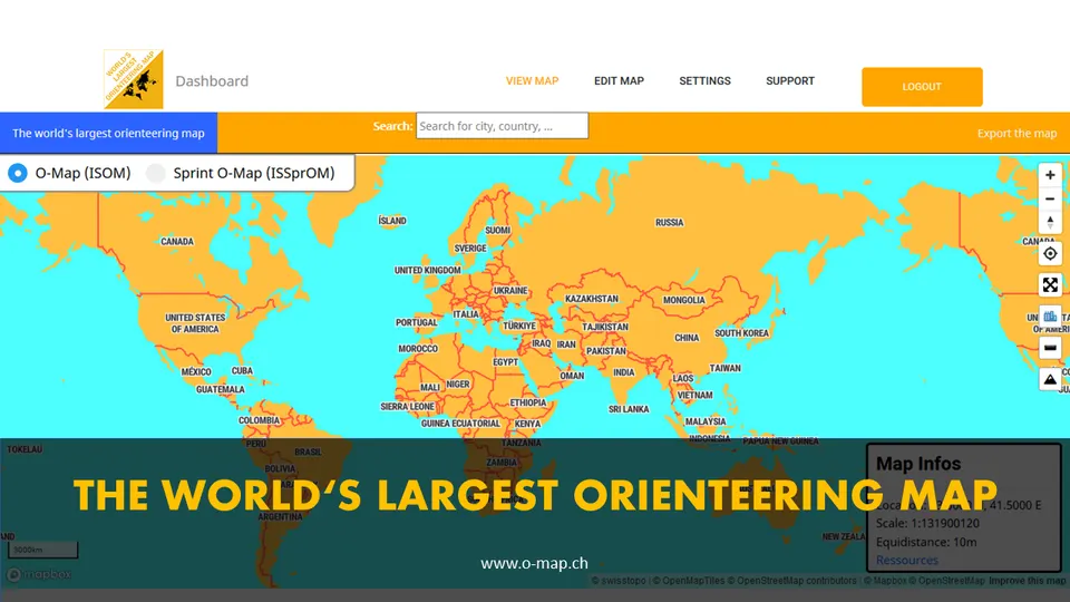
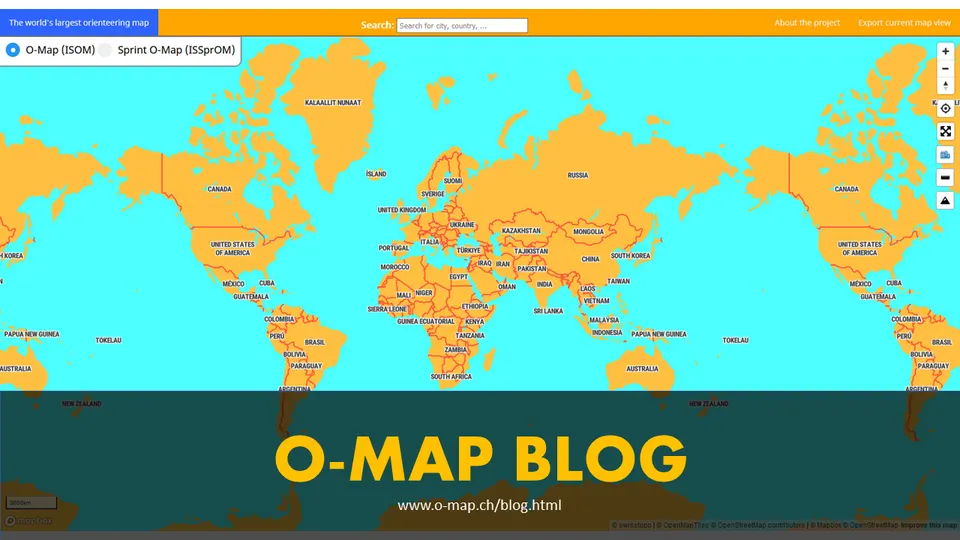
Ready for your next training?
Find your area, place the print frame and download your map in a few minutes.
Go to Map